-
 Yankee Springs
Yankee Springs
An easy off-road trail, unless there’s been some rain. This adds some water “features” and fording options.
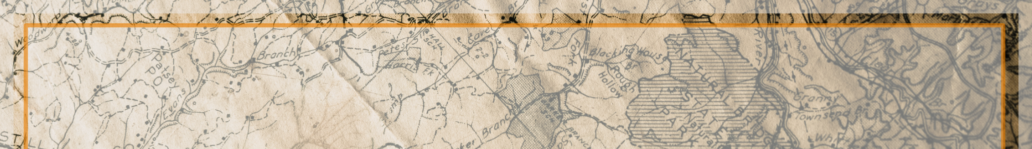
More map details
Overview
Relatively mild ride with the exception of a short muddy hill section and a double water crossing.
This trail sits on state or county land and public 2 tracks. Used for hunters in the fall to get to their spots. There aren’t a lot of great maps online, but users report that the GAIA app has the trail listed.. The coordinates are for the water hole but trails are all around the area. Users report of more trails in Middleville north of this location, but are unconfirmed. Consider this location not *fully* documented.
Note: The water depth of some of the trails is quite deep and definitely have a “pucker” factor, though some squatched Broncos have made it through. This is the reason it’s a “6” on the difficulty rating. While 90% of this trail is pretty docile, it’s only the water “feature” that might pose a problem.
There isn't necessarily a main trail but the trail is approximately 5 miles or so. There are lots of different points and maybe 10-15 total. This trail would be described as mostly back dirt roads with a few washed out sections that could be a bit tougher after rain. The water crossing was definitely the toughest by a long shot. 2 other parts that actually required 4 wheel drive from being sloppy.
Bronco6g video of the water depth video: https://www.bronco6g.com/forum/group-posts/5546/
Water fording
Depths can be a bit deep here…..