-
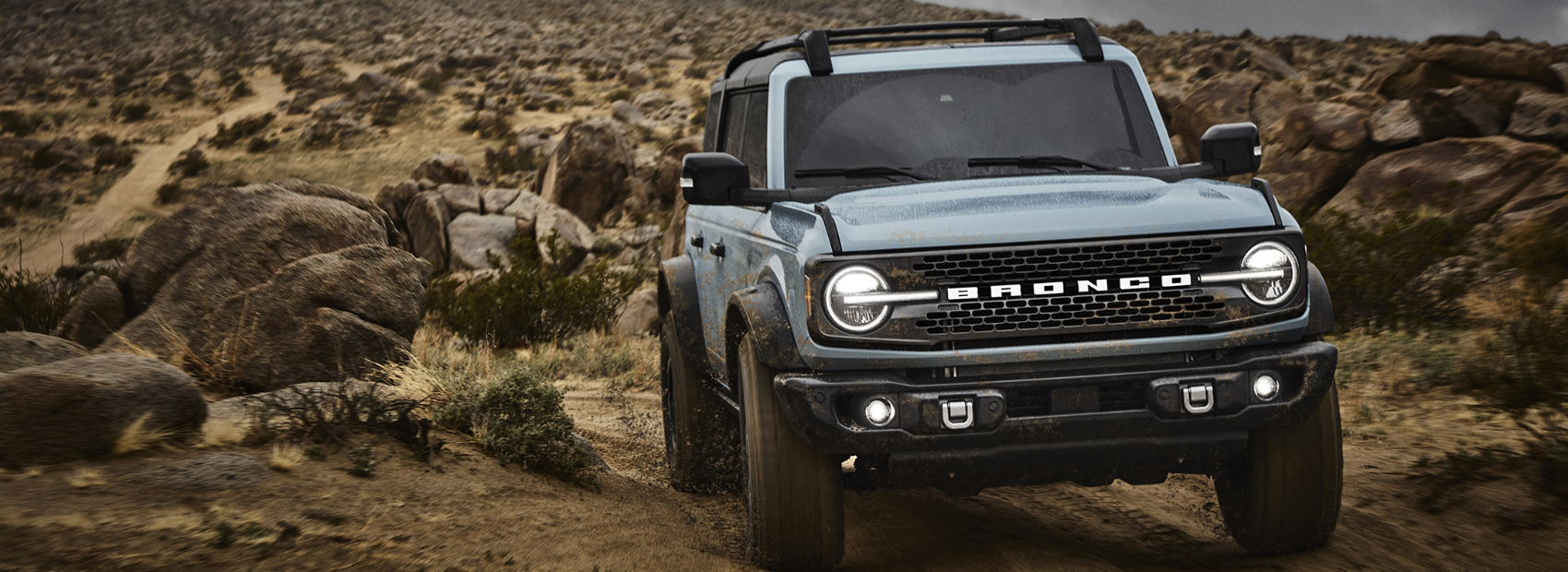 Michigan Bronco Club
Trails and Parks
Trails contributed by our fellow Bronco owners around the great State of Mchigan. If you have any you'd like to add or any corrections, please shoot us a note.
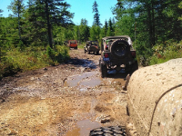
Drummond Island ORV Trails
Michigan's Largest Closed-loop Trail System. Unique ferry access and "rock crawling". What makes Drummond Island the ORV paradise of Michigan? Is it the miles of routes and trails resting beneath the tree canopy? Is it the scenic view of wildlife? The variety of trails and routes suitable for experts and novices alike? The easily accessed food, lodging, entertainment, service, or emergency aid? The clear signage indicating location, destination, and points of interest? Well yes, it is, but all of the items above make it a really good trail system, what makes it great is the ‘secret sauce.’ There you have...
- Duration: N/A (Park)
- Difficult
St. Helens Scramble Area
Large, multi use ORV area with areas open to all types of ORVs, including full size (72"+). Lot's of sand, hill climbs, two tracks, you name it. It can get dusty, rutted and filled with washboards, be ready for various and changing conditions.
- Duration: 4 Hours
- Challenging
Tawas Point State Park
Tawas Point State Park, located on the end of a sand spit that forms Tawas Bay along Lake Huron, is home to 183 acres of lakeside recreation and has been referred to as the “Cape Cod of the Midwest.” While this location is not an ORV park or, it is the starting point for our 2022 MBC Fall Color ride. The park is a stopover site for hundreds of migrating birds in the spring and fall, making it a favorite spot for many bird watchers from all over the Midwest. Pet-friendly shoreline.
- Duration: N/A (Park)
- Mild
Rocks and Valleys Off-Road Park
This off-road park has the typical Northern Michigan terrain that will challenge the driving skills of mild to wild 4 x 4 drivers. The park has over 200 acres of hills, rocks, mud and a variety of trails for different skill levels. Come and explore the many different trails!
- Duration: N/A (Park)
- Challenging
Gladwin ORV Route
Short ORV route and "gateway" to Northern MI trail system. Lot's of State Forest two tracks surround the ORV Route and ATV trail system. Great place to try out your Bronco without a lot of challenging trail features.
- Duration: 2 Hours
- Moderate