-
 Kalkaska Route and Trail
Kalkaska Route and Trail
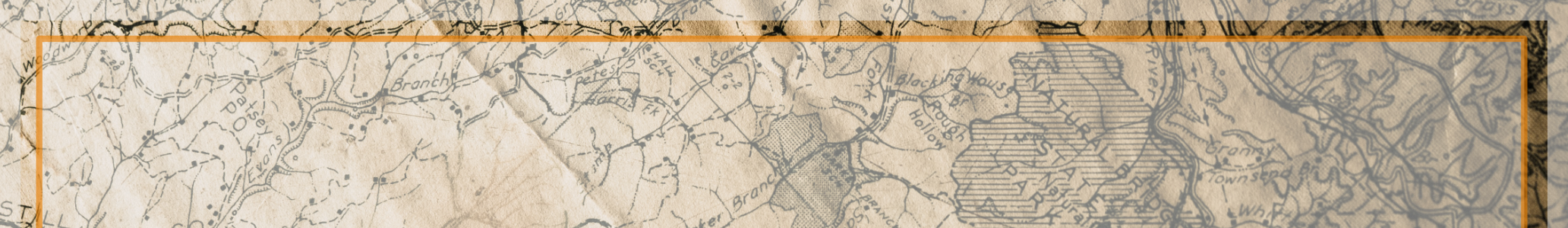
More map details
Overview
Mixed use trail area and ORV route (open to 72'+).
Many of these up north trails criss-cross with some of the Camp Grayling trails. Be sure to check the DNR map, regarding the trails accessibility.
Great connector to multiple trails and two tracks.
ORV Route. Mostly sandy, rolling to hilly. Routes generally wind through the hills. Several loop options. Some isolated/segmented sections that have very little use. New additions in 2010-2011 make for many options and more connections. New connector Route