-
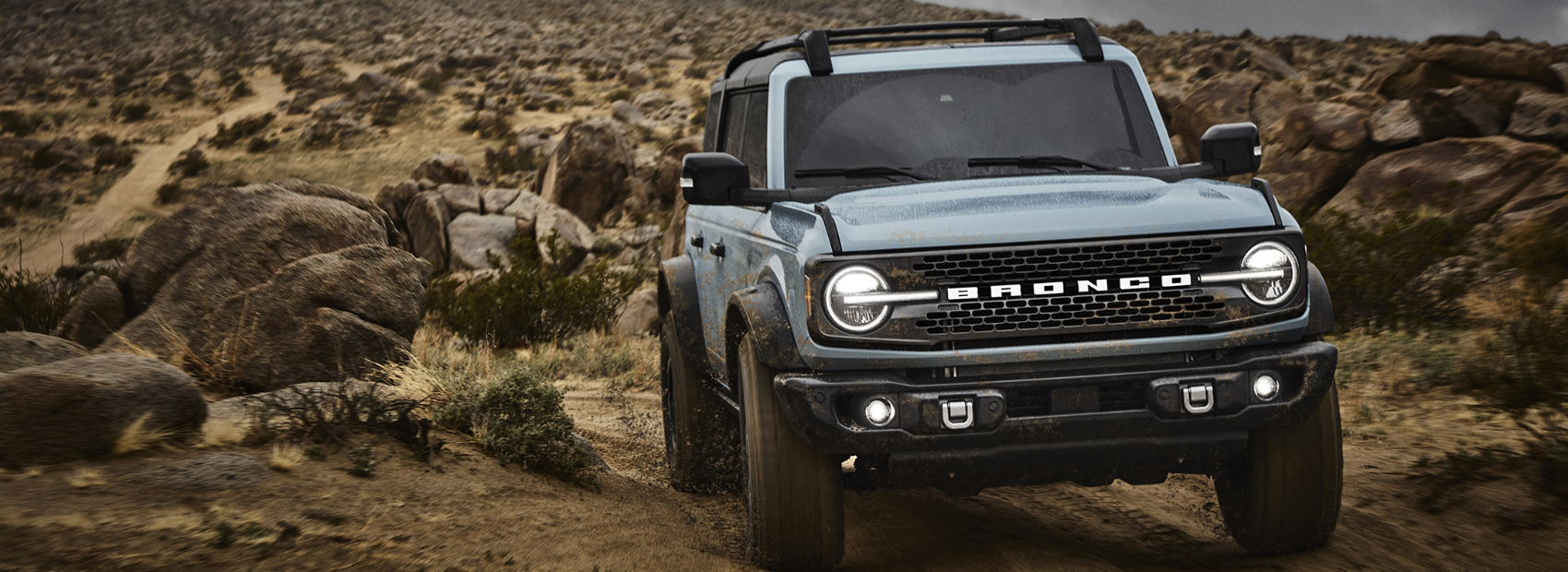 Michigan Bronco Club
Trails and Parks
Trails contributed by our fellow Bronco owners around the great State of Mchigan. If you have any you'd like to add or any corrections, please shoot us a note.
Gladwin ORV Route
Short ORV route and "gateway" to Northern MI trail system. Lot's of State Forest two tracks surround the ORV Route and ATV trail system. Great place to try out your Bronco without a lot of challenging trail features.
- Duration: 2 Hours
- Moderate
St. Helens Scramble Area
Large, multi use ORV area with areas open to all types of ORVs, including full size (72"+). Lot's of sand, hill climbs, two tracks, you name it. It can get dusty, rutted and filled with washboards, be ready for various and changing conditions.
- Duration: 4 Hours
- Challenging
Holly Oaks ORV Park
After years of planning, an off-road vehicle park in Oakland County, the 106-acre Holly Oaks ORV Park opened Sept. 17, 2020. The park is a joint State-County project, operated by Oakland County Parks and Recreation in partnership with the Michigan Department of Natural Resources via a 20-year operating agreement (with a 10-year renewal). The park, consisting of former and active sand and gravel mines, is located off I-75 (at Grange Hall) and Dixie Highway across from Groveland Oaks County Park and Campground. Holly Oaks is open to all types of ORVs, including full-size vehicles, side-by-sides, all-terrain vehicles or ATVs and motorcycles. Additional...
- Duration: N/A (Park)
- Challenging
Denton Creek ORV Route
Dual use ORV Route and Snowmobile trail south of Houghton Lake. The 32 miles of trail is situated south of Waco Road and north of Grass Lake Roads from Old 27 past M-18 to Emery Road. The sandy trail can be seasonally wet due to the numerous wildlife flooding and creeks in the area. The route has very little elevation changes but does wind and twist through predominately oak, pine and lowland tree cover types.
- Duration: 2 Hours
- Moderate