-
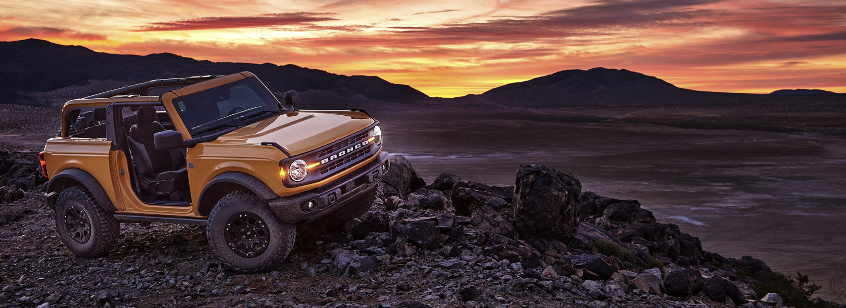 Michigan Bronco Club
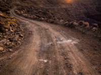
Trails and Parks
Trails contributed by our fellow Bronco owners around the great State of Mchigan. If you have any you'd like to add or any corrections, please shoot us a note.
Bundy Hill
Bundy Hill Off Road Park is located on 350 acres in Jerome, Michigan just West of the corner of US-12 and US-127. We have all terrain for all OHV & ATV's. Bundy Hill is the Southeastern Michigan's Largest Privately Owned Off-road adventure park, full of winding wooded trails, sand, rock crawling, gravel hills, bottomless mud pits hood deep water, and hill climbs. They are constantly doing work to make sure you can find everything from mild to wild! In addition to this, member primitive camping is available during regular summer hours. We have rangers on duty to make sure our quests stay...
- Duration: N/A (Park)
- Challenging
Camp Grayling
New this year is a trial opening to ORV use of nearly 95 miles of forest roads located within the Camp Grayling training area in Crawford County. The roads, located on 16,000 acres of state forest lands leased from the DNR for military training, are north of County Road 612 near the city of Grayling. The forest roads will be open to the public when not in use for military training. When the area is used for training activities, roads will be gated off for public safety. Notice will be posted on the Camp Grayling Facebook page and shared on local radio stations.
- Duration: 4 Hours
- Challenging
Holly Oaks ORV Park
After years of planning, an off-road vehicle park in Oakland County, the 106-acre Holly Oaks ORV Park opened Sept. 17, 2020. The park is a joint State-County project, operated by Oakland County Parks and Recreation in partnership with the Michigan Department of Natural Resources via a 20-year operating agreement (with a 10-year renewal). The park, consisting of former and active sand and gravel mines, is located off I-75 (at Grange Hall) and Dixie Highway across from Groveland Oaks County Park and Campground. Holly Oaks is open to all types of ORVs, including full-size vehicles, side-by-sides, all-terrain vehicles or ATVs and motorcycles. Additional...
- Duration: N/A (Park)
- Challenging
Kalkaska Route and Trail
Mixed use trail area and ORV route (open to 72'+). Many of these up north trails criss-cross with some of the Camp Grayling trails. Be sure to check the DNR map, regarding the trails accessibility.
- Duration: N/A (Park)
- Moderate
St. Helens Scramble Area
Large, multi use ORV area with areas open to all types of ORVs, including full size (72"+). Lot's of sand, hill climbs, two tracks, you name it. It can get dusty, rutted and filled with washboards, be ready for various and changing conditions.
- Duration: 4 Hours
- Challenging